Welcome to the Conservation Mega Mapper!
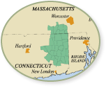
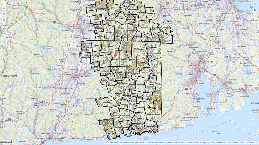
This map viewer contains the most comprehensive "protected open space" data layer for The Last Green Valley National Heritage Corridor and surrounding communities in eastern Connecticut and south-central Massachusetts. It also contains data layers for important natural resource attributes such as watersheds and biodiversity, plus socioeconomic indicators including distressed municipalities and environmental justice screening tools. By examining these data layers and overlaying them in different combinations, this mapper can be used for conservation planning from large-scale landscape projects to smaller-scale neighborhood projects.
Please note the usual disclaimers apply - this mapper is only as up-to-date and accurate as each of its constituent data layers and should not be relied upon for property-level determinations. Conditions on the ground may be different from conditions shown on the map, and not all protected open space parcels allow public access. More information about each data layer and its source can be found in the mapper. If you find errors or omissions, please email Lois@tlgv.org with your recommended changes.
This map was produced as part of a collaborative Land Trust Advancement Initiative funded by the Community Foundation of Eastern Connecticut and hosted by the CT Land Conservation Council and The Last Green Valley. Special thanks to Hunter Brawley of Brawley Consulting Group and Brian Hall for completing this mapper.


